Community Corner
Subfreezing Temperatures Forecast Across Region As Cold Front Moves In
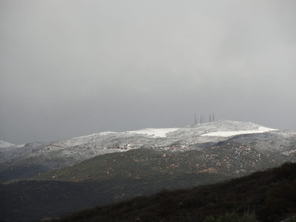
Snow levels are expected to drop to the 2,000-foot level by Thursday night, according to the NWS, which could mean a dusting in Southwest Riverside County's foothills.

Expect cold, wet weather for much of the week as a storm begins to move into Southwest Riverside County.
A cold, low-pressure system from the Northwest is forecast to move into the area Thursday, bringing with it rain and chilly wind, the National Weather Service is reporting.
Rain and snow are forecast through Thursday night, followed by frigid temperatures around 10 to 15 degrees below average Friday through Sunday, according to the NWS. Frost and freeze are forecast, with temperatures dropping below freezing Thursday through Sunday nights across Southwest Riverside County. Daytime highs will only reach the low- to mid-50s.
Find out what's happening in Lake Elsinore-Wildomarwith free, real-time updates from Patch.
“Many inland areas could have several hours of subfreezing temperatures … with low temperatures in Inland Valley and some lower desert areas in the 20s and locally in the upper teens. Growers should take precautions to protect sensitive crops,” the NWS reported Tuesday.
Snow levels are expected to drop to the 2,000-foot level by Thursday night, according to the NWS, which could mean a dusting in Southwest Riverside County’s foothills.
Find out what's happening in Lake Elsinore-Wildomarwith free, real-time updates from Patch.
Although the storm will be cold, the rainfall total through Thursday night is only expected to reach a half-inch, according to the NWS.
Strong winds are forecast to accompany the cold front, with gusts expected to reach 65 mph Thursday afternoon and evening in some areas, the NWS reported.
Get more local news delivered straight to your inbox. Sign up for free Patch newsletters and alerts.


